
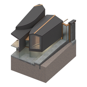
"Tún"
Situated upon a hill over Lake Mývatn, Tún champions the natural and built histories of the environment around it as a means to create a lasting space for future generations. By rooting itself in the archaeologies of the site, the project aims to provide a wholehearted contemporary program that by its nature proposes an inherently communal space for current and future inhabitants.
Naturally spectacular, the Mývatn region is known for its intense biological and volcanic activity, and is incredibly ecologically sensitive. In this light, the project intervention uses the opportunity of building to positively contribute to the ecology and landscape of the region through built form.
In the spirit of a fully shared community space, the project proposes a small ‘village on a hill’ where every volume flows and shares space with each other in carefully choreographed boundary conditions. In between these forms, an interior slope and terrace commons provide a literal mediary space for residents to interact, to meet, and to have chance encounters with one another. This positioning between forms, and along circulation routes makes it so spontaneous exchange between people is commonplace and anticipated.
ARC409 | Spring 2022 | Prof. Hannibal Newsom
Project in collaboration with Mario Benedict


Midges | Lakebed Surface Relationship
Twice a year, swarms of eponymous Midges hatch from the lake.
In looking at their hatching process and cycle, we can begin to see a close relationship between natural and ecological forces in creating site. These insects are laid in silk tubes in the lakebed surface, burrowing into the sediment. When hatching, the insects leave their silk cocoons scattered along the surface. With the decomposing silk merging with the now disrupted sediment, a hybridized material is created that stabilized the lake surface from erosion and affords local protections from the harsh currents. Sediment disruption on the lakebed affords environmental protections by this site-determined cooperation. When they die off, their decomposition across the landscape provides nutrients for plant and animal life to sustain.
Viking Fencing | Settlement Tactics
The Mývatn region is characterized by a flat landscape with extensive postglacial lava fields. At the time of settlement,
A system of ancient turf walls is the most prominent feature of the archaeological landscape, with a characteristic geometry reflecting traces of the original settlements. Forms of basic enclosure patterns corresponded to individual farms with likely boundaries running uphill. A horizontal (head) wall on the hillside divided rangeland into a near and far section with flow of goods, resources, or access at the foot. These boundaries were dynamically shaped by variables such as intrusion pressure, resource density, and predictability. Head walls would usually join that of the neighboring farm, creating a continuously integrated structure with multiple farm properties.


Pseudocraters | Hydrological Volcanism
The first Mývatn was created when volcanic eruptions dammed up streams. The high water table in the region interacting with this explosive heat gave way to the characteristic pseudocraters that result from steam explosions. Over time, wave action from the lake eroded these to create an intensely geologically layered landscape.


Sun Analysis | 03.21 Vernal Equinox

Approach | From Main Road to Service Court

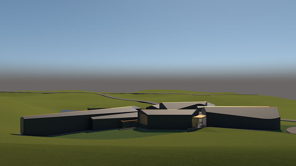
Aerial | From SE towards NW
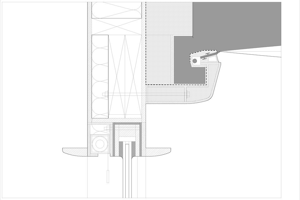
Floor 1 | Greenhouses, Great Hall / Foyer, Terrace / Slope, Sauna / W.C., Kitchen, Firehouse Loft
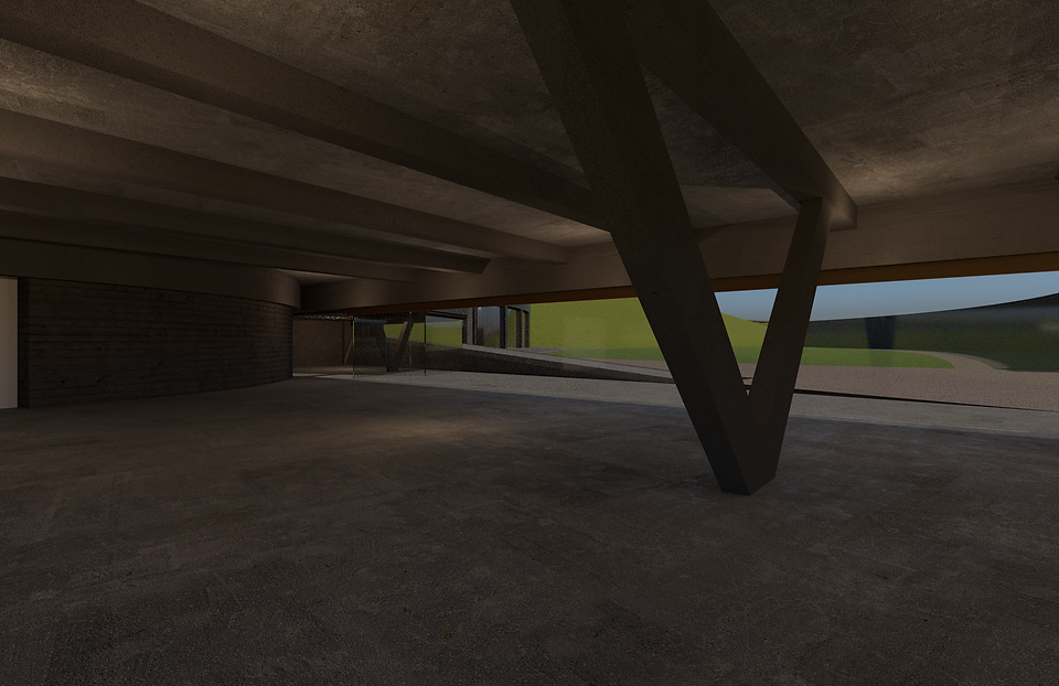
Residents and tourist access is separated from the services, with wind protection afforded by the terracing of the building upon the hillside. Fluidity in plan aims to remove any harsh programmatic boundaries, using the arrangement and geometry as a way to prompt interaction between audiences. The sectionally active site invites the project to bury itself into the landscape, prompting a natural dichotomy between community and civic functions. At a more global intervention scale, the backs of some forms protect against the harsh environmental conditions of the site to create a safe-haven and calmness in the heart of the project.

Program Diagrams | Lower, Upper
Green: Food Production and Processing, Gold: Civic. Community hall, Offices, Children’s Areas, Lavender: Services, Mechanical
Blue: Workshop, Resource Exchange, Red: Garage, Vehicle Maintenance


‘Heavy’ Programs- such as the workshop, resource exchange, food processing, and garages- lie at the base of the site to minimize disturbance on the site. The flexibility of the service court lets these movements flow in relation to each other, making sure that the site is never partitioned harshly for any single program. The aim is to limit the interruption in daily life that happens with real world demands of transportation and resourcing. This siting of productivity at the base of the hillside mimics Viking farm settlement organizations, and lets lighter, more community oriented programs exist atop better views and light qualities.
Downhill Lawn | Towards Hverfjall, Mývatn ; From NW to SE

Civic Entrance | From Residents' Approach Circle

Perspective | From Entrance down Slope towards Terrace
L. Offices/ Children's Space
R. Greenhouses, Passage to Great Hall
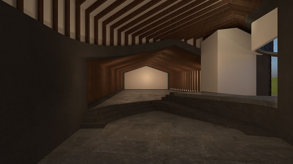
Perspective | Great Hall through Foyer
Perspective | Workshop and Resource Exchange, Processing to Service Court